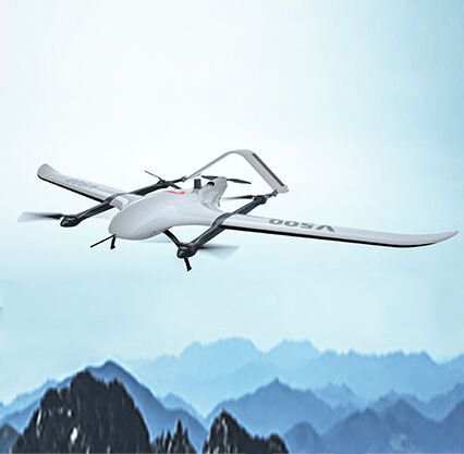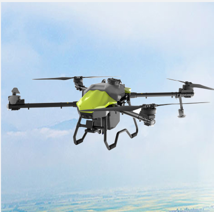
Of course mapping and paying attention to what is happening on the ground can be very useful, but it can also difficult to accomplish. New technology such as UAVs, or unmanned aerial vehicles, can now see the land from above and provide us with the critical data needed to make better sense of it. And, using UAVs we provide Land Surveying Services for our clients at Null-space. Let’s find out more about what this means, how it works and why it is so crucial.
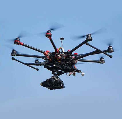
UAVs are mini aerial vehicles and are operated from the ground, similar to flying a remote-controlled toy. These small aircraft allow users to take photos and videos from above by flying over a specific area of land. They carry cameras that take sharp, high-resolution pictures we can use to make maps and accurately measure distances. Because its a great opportunity for a greater perspective in the land survey. That allows us to have a clearer understanding of the form of the land, including its formations and shapes. In fact, we might even think about creating 3D models from these images, detailing the height and shape of the terrain — this would be extremely useful for a range of diverse work.
With UAVs, surveying is faster and easier than it ever was with the old methods. Surveying used to require surveyors to physically traverse the entire plot of land with cumbersome equipment, jotting down measurements and notes by hand. This process could be prolonged, and it was not always easy to come up with an accurate picture of the whole place. But we can also cover a large piece of land very quickly, so UAVs. Most capable aircraft have categories that can very much soar over rugged terrain, whether rocky hills or thick trees. They can shoot a lot of pictures from various positions in a short time. This allows surveyors to have a much more comprehensive view of the lay of the land compared to the traditional methods learning how to do this took quite a bit of time.
So there are lots of positives to using UAVs for land surveying but its also not without its challenges, which we need to consider. A significant advantage is the time and cost savings that deploying UAVs represents. Configuring these flying machines helps surveyors skipping extra hiring or renting the special equipment. Also, they save quite a bit of time as they do not have to manually walk around the facility taking measurements. Some other benefits include the ability to perform in hazardous or hard to access areas like steep slopes, rugged terrain, or where human access is deemed unsafe.
But at the same time, there are a few challenges associated with the utilization of UAVs as well. “The most challenging thing is that a person needs to fly the UAVs, a person who can handle how to fly,” he continued. In windy and unpredictable weather, they can be a bit tricky to handle. Moreover, operators must undergo specialized training and certification before they can legally and safely fly these devices. It could also come with its own challenges. UAVs can be costly to purchase as well as keep up with. For this, they need specific tools as well as software and maintenance check regularly for their proper working and safety.
Precision: UAV provide very precise and accurate data. Surveyors can take multiple images on the same object from different angles and create a detailed 3D map with information on exactly where it is and how it is shaped on the ground. Such data is crucial for various applications and works including but not limited to topographic mapping, design and planning of construction projects, and understanding land development over time. Besides that, UAVs can also be outfitted with specific sensors that detect temperature, humidity, or air quality. This means they provide even more rich information for surveyors to interpret and leverage in their processes.
We are constantly delving into advancements and possibilities offered by UAV technology for land surveying, so we hope you join us. Another great use for UAVs is that they can be outfitted with specialized sensors which can detect gas leaks or soil erosion to ensure that the environment is safe. They can also be used to emerge virtual reality simulations that allow the surveyors experience the land in fresh and interesting ways. Additionally, UAVs can collaborate with other technologies such as GPS or LiDAR to produce thorough and precisely accurate maps that are highly beneficial for numerous tasks.
Copyright © Foshan Null-space flight technology Co., Ltd. All Rights Reserved - Blog - Privacy Policy